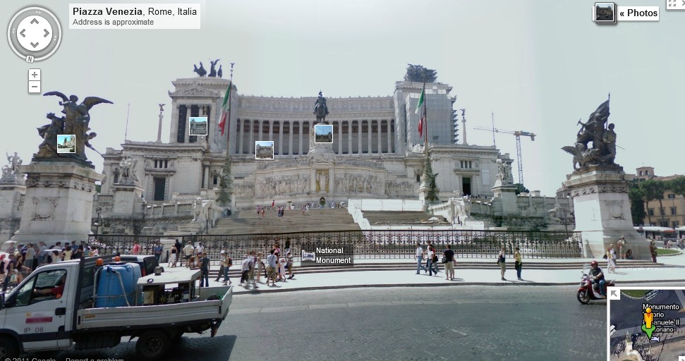
Google Street View, Monument to Vittorio Emanuele II
Google Maps has become an indispensable tool for many travelers, offering highly detailed maps, complete with satellite imagery. Now, the service offers a new feature: seamless movement from Google Maps to its popular sibling, Street View.
Once upon a time, if users wanted to use Street View, they were required to install a special browser plugin. Then, they had to drag Pegman from the zoom bar onto the map. It wasn't a terribly onerous task, but it seemed strange that users couldn't simply glide down to street level by continuing to zoom in.
Now you can. Anywhere that Street View is available -- and despite Street View's troubles, it's covered a lot of ground -- all you have to do is drill down to get there. Once you reach a certain level, you'll switch to Google Maps' 45-degree view. A click or two more, and you're at street level.
The upgrade is called Google MapsGL (short for "Graphics Library"). We should point out, however, that to use GL, you'll need an up-to-date browser. Chrome 14+ will work fine, as will later version of Firefox. (No word on Explorer. Sorry, Charlie.)
This is great news as far as we're concerned. It may seem like a tiny development in the grand scheme of things, but in essence, it combines two major mapping technologies in one neat, functional package. For an overview of how it all works, check the video from Google below.
